iGeo 2006, Теренна работа — Задача 1. Question 1
6th International Geography Olympiad, Brisbane, Australia. Fieldwork Test · 30 юни 2006 г. · 7 т.
Fieldwork Test. Part A — Question Booklet
Friday 30 June 2.00 - 3.15pm
You may have with you stationery items, a calculator, a language dictionary, and your annotated map and notes from this morning’s fieldwork.
Answer the questions in the answer booklet provided
Fieldwork Test. Part B — Question Booklet
Saturday 1 July 9.00 - 10.30am
You may have with you stationery items, a calculator, a language dictionary, your Answer Booklet from Part A, the aerial photo distributed during the fieldwork, your annotated map and notes from this morning’s fieldwork.
Answer the questions in the answer booklet provided
(Question 1 and 2 were in Part A)
Условие
Using the data that you gathered in the field earlier today, complete a land use map of the area that you visited, showing the current uses of the area. Organize the land uses into these categories:
- Park and green space
- University
- Mixed use
- Residential
- Vacant
Include in the “Vacant” category any sites with demountable buildings, car parks, and sites where constructions are not yet above ground level.
Choosing appropriate colours, present this information on the outline map in your answer booklet.
In completing your map ensure the geographical conventions of good mapping have been observed.
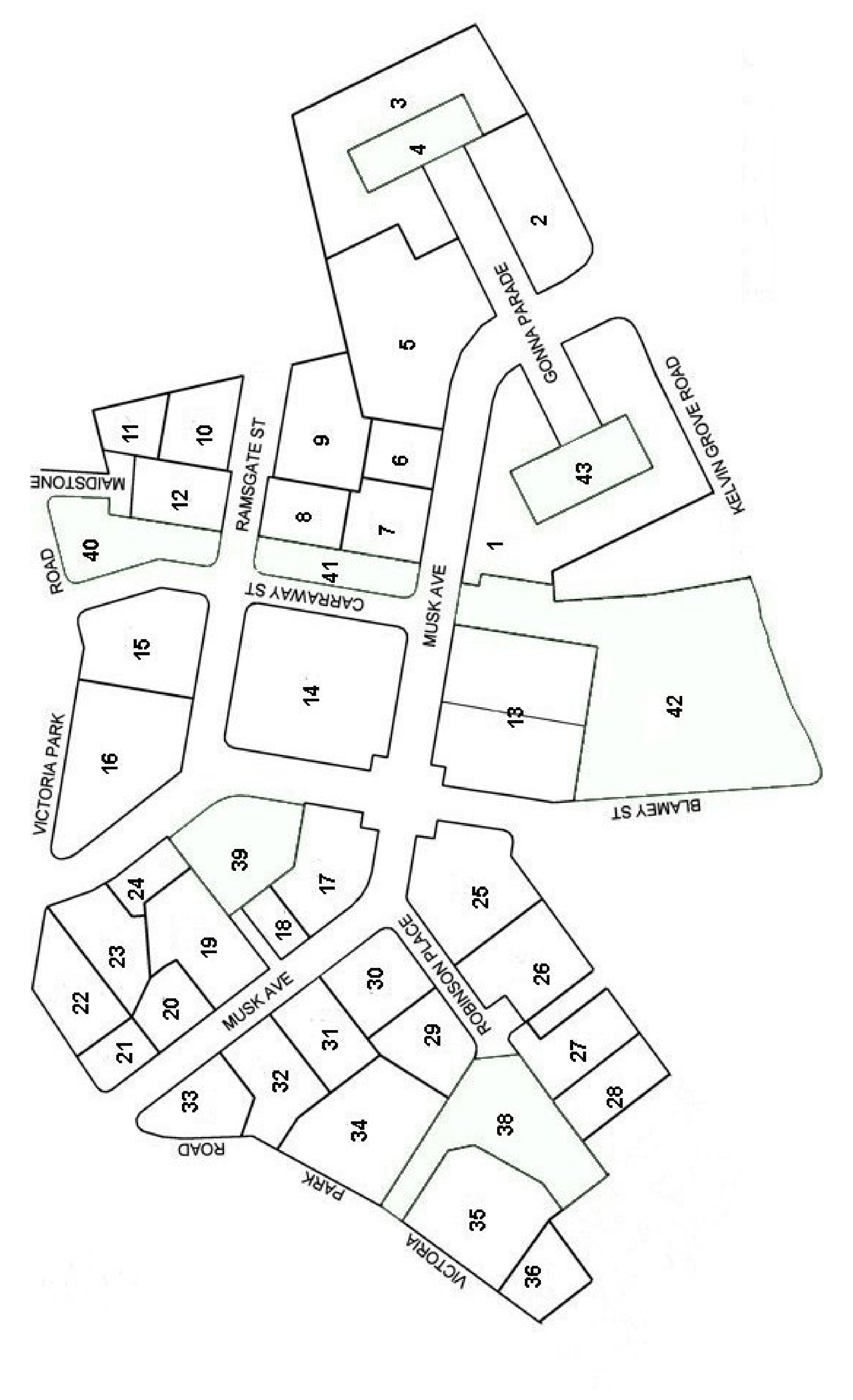
Решение
Question 1 - Map - 7 Marks
Mark out of 14 and divide by 2 at the end. (Sample map was provided to markers.)
| Shading according to land uses | |
| 5 colours X 2 marks for each land use | 10 |
| (minus ½ mark for each mistake) | |
| Appropriate title | |
| Must have “Land Use” and “Kelvin Grove Urban Village” | ½ ½ |
| Key (or legend) | |
| Must have 5 colours for 5 named land uses | 1 |
| North Point | |
| Must have an arrow pointing in the right direction. (Acceptable deviation from the correct direction was worked out by the markers.) | ½ |
| Must have a N or North (if the direction is incorrect, no marks will be awarded) | ½ |
| Scale | |
| The scale is approximately one centimetre on the map represents 20 metres on the ground | |
| Must have the scale correct to 10% either way | ½ |
| Plus the correct unit of measurement, i.e., metres, km | ½ |
| Initial Total | out of 14 |
| Divide by 2, final marks | out of 7 |
Оригинал в Архива: 2006FWtest.pdf · официални решения: 2006FWmarkingscheme.pdf