iGeo 2010, Мултимедиен тест — Задача 24. Question 24
iGeo 2010 · Multi Media Test
Внимание: Бележка към темата
The official answer sheet supplies letters only. The six movie-dependent questions retain original stills, icons and printed references; native movie files and soundtracks are unavailable in the original archive packet and have not been read. Historical source wording and official codes are retained without re-solving.
Условие
Question 24
The yellow line on the image distinguishes between:
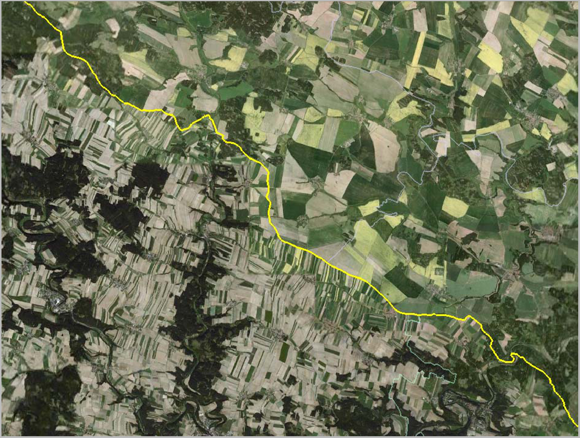
A. sizes of households
B. vegetation types
C. effects of a flash-flood
D. states
Отговори
- D
Решение
ANSWER CODE: D
Оригинал в Архива: 2010iGeo_MMT_question.pdf · официални решения: 2010iGeo_MMT_Answer.pdf