iGeo 2014, Писмен тест — D. Section D · Impacts of Global Warming
11th International Geography Olympiad · Written Response Test · 12 август 2014 г. · 15 т.
Внимание: Бележка към темата
The original resource PDF omits the D2 boat-school photograph and explicitly withholds the E3 malaria map from public display; the official key supplies no E3 answer. Literal native table, wording, examiner/report label and exemplar/key disagreements are retained in their attributed source scopes.
Instructions for the Students
Instructions for the Students
Fill in your name, team and iGeo student number on the front page of this Question and Answer Booklet.
Fill in your iGeo student number in the boxes on top of the pages in this Booklet.
This test consists of 6 Sections.
The maximum total mark is 90. The mark for each question is given in the margin at the beginning of the question. There are a maximum of 15 marks for each Section.
Answer all questions in the spaces provided in this Booklet.
Check the backs of pages as questions are printed on both sides of a page.
Give only the required number of answers (reasons, examples, etc.). For instance, if the question asks for 2 reasons and you give more than 2, only the first 2 reasons will be marked.
The Resource Booklet contains Sources referred to in this Booklet.
You may use a calculator during the test.
Time: 180 minutes for students not educated in English,
150 minutes for students educated in English.
- Students not educated in English are allowed to use bilingual dictionaries during the test.
Good luck!
Instructions for the Markers
Instructions for the Markers
Check if the iGeo Student Numbers are on each sheet before dividing up the paper.
This test consists of 6 Sections.
One whole Section per marker and double-checker.
Check whether the answer continues outside the designated area. No credits will be given to answers in the Resource Booklet.
The maximum total mark is 90. The mark for each question is given at the beginning of the question. There are a maximum of 15 marks for each Section.
Get the hang of the full range of answers by reading through a few papers with your co-marker before you start your marking.
These answers are not exhaustive. Credit any relevant answer.
Mark only the required number of answers (reasons, examples, etc.). For instance, if the question asks for 2 reasons and there is more than 2, only the first 2 reasons should be marked.
Put your mark next to the question number in the column on the left – it eases the work of the person who has to put the numbers into MS Excel. Total the marks by the title of the Section.
The Moderators (Sue and Anu) will sample the marking of all teams.
Условие
Section D: Impacts of Global Warming. Maximum 15 marks.
Question 1 (3 т.)
1 Suggest how global warming could affect food supplies in Africa. [3 т.]
Question 2 (3 т.)
2 Suggest how global warming might affect the El Niño Southern Oscillation (ENSO) in the southern Pacific. [3 т.]
Question 3 (1 т.)
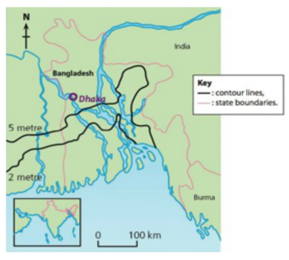
3 Study Resource Booklet Figure D1: The height of land above sea level in Bangladesh. How high would sea level have to rise to flood Dhaka? Mark the correct box.
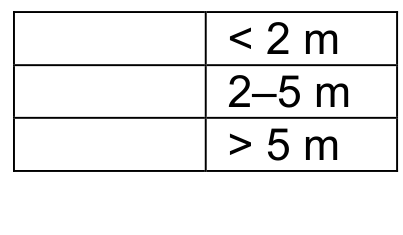
[1 т.]
Question 4 (3 т.)
4 Study Resource Booklet Figure D2: Solar-powered floating boat school in Bangladesh. Explain how the climate and physical environment of Bangladesh mean that this type of school may become more common.
Native resource caption: Figure D2: Solar-powered floating boat school in Bangladesh. Source: Pearson Education.
[The supplied original Resource Booklet contains this caption but no D2 photograph.] [3 т.]
Question 5 (5 т.)
5 Give 2 different circumstances (other than flooding) in which people might become ‘environmental refugees’. For each, explain how different impacts lead to people losing their homes.
Circumstance 1: ______
Circumstance 2: ______ [5 т.]
Решение
Official Marking Scheme · Section D.
Question 1 (3 т.)
■ Due to long-term droughts large agricultural areas for crop cultivation are being lost which directly results in a decrease of food production; in these agricultural areas irrigation is not possible due to rainfall variability.
■ Rainfall variability – the precipitation does not change but the seasonality does.
■ Evaporation from land water (lakes and rivers) is increasing; at the same time water availability for irrigation decreases and this directly influences soil salinisation which increases.
■ Under the influence of temperature increase, interrelations in the hydrological cycle change – rivers transform to swampy areas (e.g. South Sudan – White Nile), the number of insects (e.g. locusts) increases and and some insect species spread to new areas and they all contribute to crop yield decrease.
Question 2 (3 т.)
Answer: 3m
■ ENSO would be more frequent (1m)
■ from every 7 years to every 2-3 years
■ ENSO would be more intense (1m)
■ Global warming intensifies the sea surface temperature difference between eastern and western Pacific
■ Changes in sea current flow and its characteristics (e.g. cold Humboldt Current becomes warm in one part) 1m for an explanation of either point
Question 3 (1 т.)
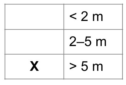
Answer: More than 5 metres < 2 m 2–5 m X > 5 m Student number:
Question 4 (3 т.)
Answer: 3m Any three points.
■ Higher flood risk because of low lying land and land below sea level.
■ Melting glaciers in Himalayas cause more water to flow in the rivers.
■ There is a high incidence of cyclones which cause flooding.
■ Land is subsiding, e.g. Ganges delta (due to isostatic change).
Question 5 (5 т.)
0.5 x 2 = 1m – for circumstances: cyclones, drought, forest fires, earthquakes, volcanoes, sea level rise, mud slides. 2m – for each explanation but no repetition allowed e.g. flooding from cyclones and flooding from rivers overflowing their banks due to intense rainfall (same thing).
■ As a result of emergency situations to do with hazards, e.g. as a result of volcanic eruptions, or earthquakes or floods. Homes are destroyed or buried/ These are often temporary moves.
■ As a result of worsening environmental conditions such as deforestation, or loss of land due to sea level rise. Salinisation leads to degradation of soil due to high tides.
■ Due to repeated crop failure because of desertification people have to move because they cannot get enough food.
Committee Report · Appendix 1
Committee Report, October 2014 — Appendix 1. This section contains some examples of good answers with comments from the marking teams in speech bubbles. All the exemplar answers are taken from scripts of students who are not educated in English. These source-attributed exemplars retain their native wording, numbering, marks and disagreements with the Marking Scheme.
Committee Report exemplar · D1, scored2/3; complete answer and examiner limitation.
Source-attributed student answer and marking-team comment:
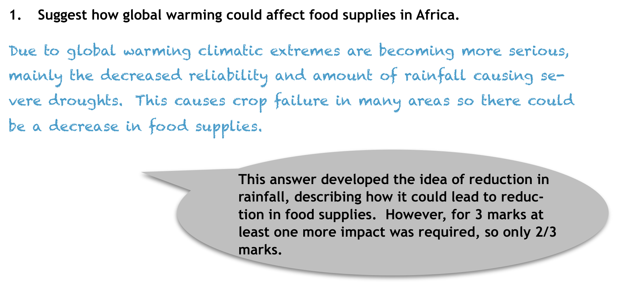
- Suggest how global warming could affect food supplies in Africa. Due to global warming climatic extremes are becoming more serious, mainly the decreased reliability and amount of rainfall causing severe droughts. This causes crop failure in many areas so there could be a decrease in food supplies. This answer developed the idea of reduction in rainfall, describing how it could lead to reduction in food supplies. However, for 3 marks at least one more impact was required, so only 2/3 marks.
Committee Report exemplar · D2, scored2/3; complete student answer and examiner limitation.
Source-attributed student answer and marking-team comment:
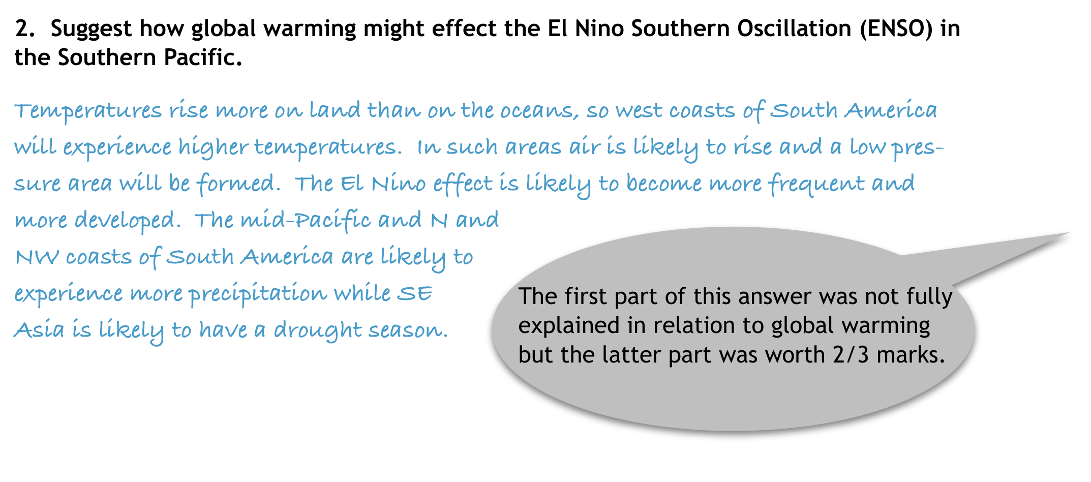
- Suggest how global warming might effect the El Nino Southern Oscillation (ENSO) in the Southern Pacific. Temperatures rise more on land than on the oceans, so west coasts of South America will experience higher temperatures. In such areas air is likely to rise and a low pressure area will be formed. The El Nino effect is likely to become more frequent and more developed. The mid-Pacific and N and NW coasts of South America are likely to experience more precipitation while SE Asia is likely to have a drought season.
The first part of this answer was not fully explained in relation to global warming but the latter part was worth 2/3 marks.
Committee Report exemplar · D4, scored3/3; complete student answer and leftmost examiner speech-bubble pointer.
Source-attributed student answer and marking-team comment:
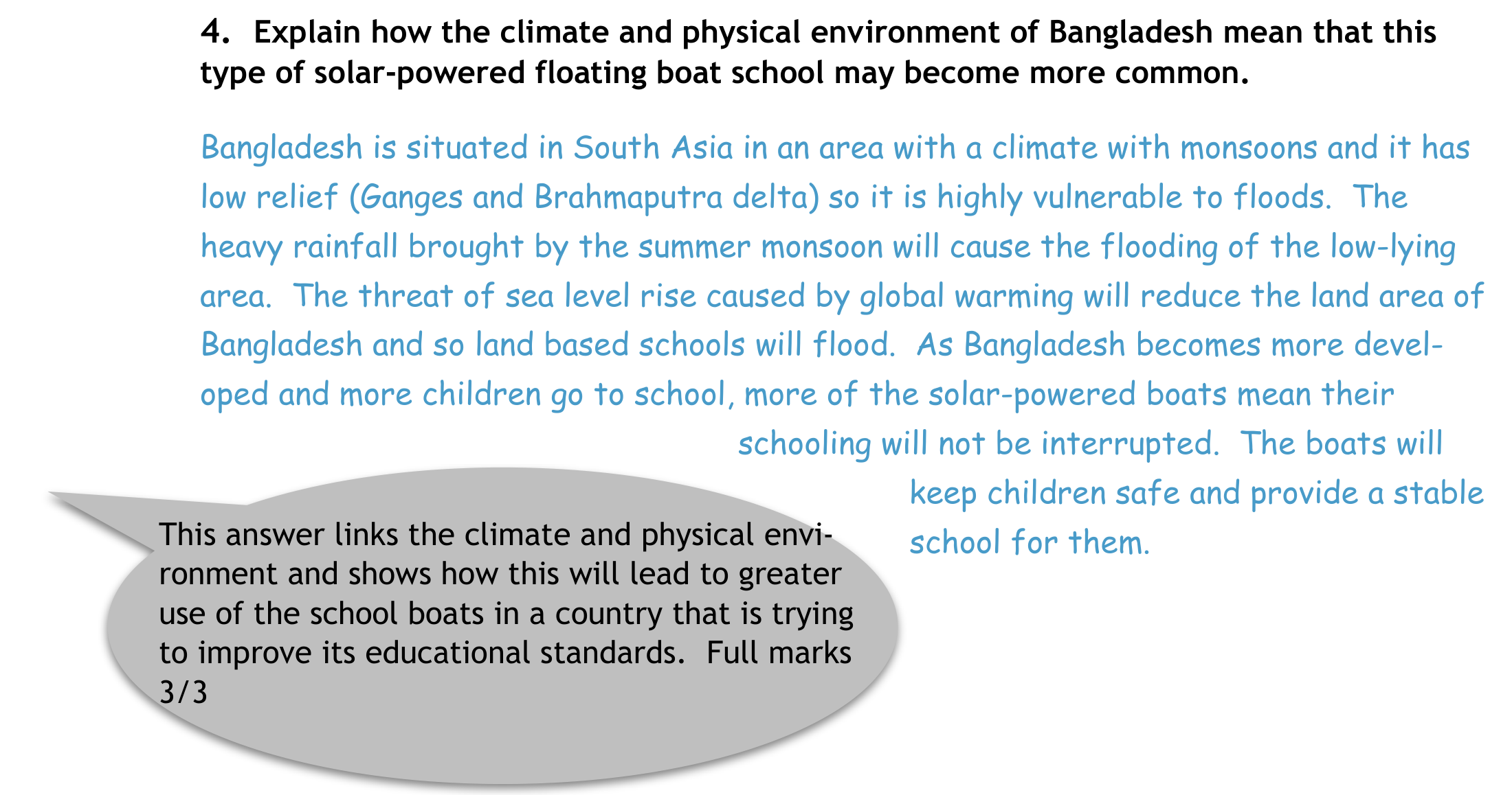
- Explain how the climate and physical environment of Bangladesh mean that this type of solar-powered floating boat school may become more common. Bangladesh is situated in South Asia in an area with a climate with monsoons and it has low relief (Ganges and Brahmaputra delta) so it is highly vulnerable to floods. The heavy rainfall brought by the summer monsoon will cause the flooding of the low-lying area. The threat of sea level rise caused by global warming will reduce the land area of Bangladesh and so land based schools will flood. As Bangladesh becomes more developed and more children go to school, more of the solar-powered boats mean their schooling will not be interrupted. The boats will keep children safe and provide a stable school for them.
This answer links the climate and physical environment and shows how this will lead to greater use of the school boats in a country that is trying to improve its educational standards. Full marks 3/3
Committee Report exemplar · D5, scored5/5; both circumstances and complete examiner bubble.
Source-attributed student answer and marking-team comment:
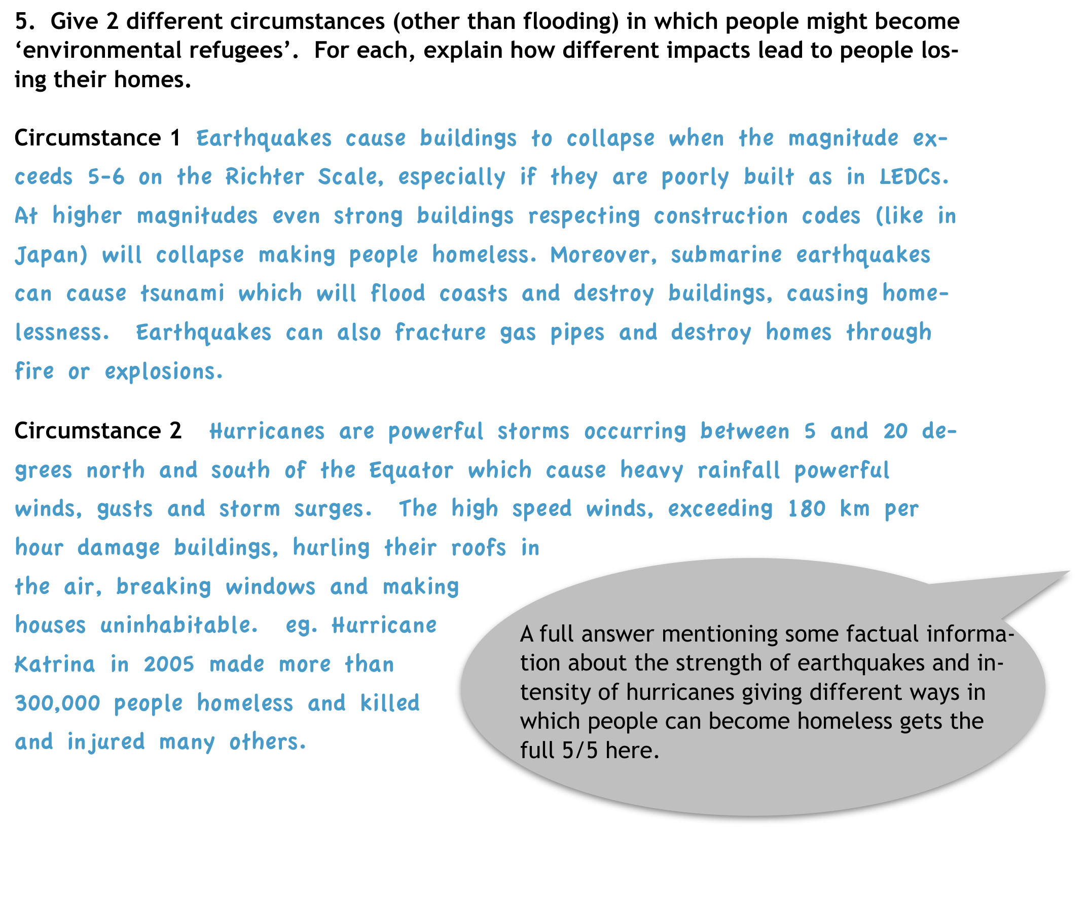
- Give 2 different circumstances (other than flooding) in which people might become ‘environmental refugees’. For each, explain how different impacts lead to people losing their homes. Circumstance 1 Earthquakes cause buildings to collapse when the magnitude exceeds 5-6 on the Richter Scale, especially if they are poorly built as in LEDCs. At higher magnitudes even strong buildings respecting construction codes (like in Japan) will collapse making people homeless. Moreover, submarine earthquakes can cause tsunami which will flood coasts and destroy buildings, causing homelessness. Earthquakes can also fracture gas pipes and destroy homes through fire or explosions.
Circumstance 2 Hurricanes are powerful storms occurring between 5 and 20 degrees north and south of the Equator which cause heavy rainfall powerful winds, gusts and storm surges. The high speed winds, exceeding 180 km per hour damage buildings, hurling their roofs in the air, breaking windows and making houses uninhabitable. eg. Hurricane Katrina in 2005 made more than 300,000 people homeless and killed and injured many others.
A full answer mentioning some factual information about the strength of earthquakes and intensity of hurricanes giving different ways in which people can become homeless gets the full 5/5 here.
Committee Report · October 2014 · General report
Geography Olympiad 2014 - Krakow
Written Response Test Report
Student Performance
•
Overall the paper was accessible by all students. The total marks were out of 90
with the lowest score being 14 marks (compared to 9 marks in 2013) and the highest score reaching 70 marks (75.5 marks in 2013). The median mark was 47 out of
90 (43 in 2013). Overall this was a higher scoring paper than last year’s WRT.
•
The highest scoring section overall was Section F (Globalisation and Transnational
Corporations) where the median mark was 11 out of 15.
•
Section A (Geology and Coastal Landforms) was the only section where a student
achieved full marks (15)
•
The lowest scoring section was Section C ( Global Ecological Footprint) where the
median mark was 8 out of 15.
•
Section A had several students who did not score at all and Section C and E each
had 2 students who didn’t score at all. However, Section A was also where the
highest mark was achieved.
General Comments
•
The writing committee has continued to make a conscious effort to ask more
‘open’ questions which we hoped would encourage students to write in more extended prose.
•
Questions were structured so that generally, the easier more closed questions came
at the beginning of each section using command words such as identify, outline,
describe, name, and what?
•
The more open, challenging questions came towards the end using command words
such as explain, suggest, comment on and justify.
•
As in previous years, the team also tried to produce sections that integrated physical and human geography topics.
•
We always try to provide a variety of data representation/visualisation (eg. maps,
graphs, tables, etc.) to reflect the range of sources that geographers work with.
•
We also tried to introduce some more modern topics e.g. geography of health; the
solar powered boat schools and the recent expansion of globalisation.
•
Some questions were very poorly answered by students:
o
In question C7 students were asked to comment on the differences between
the data shown in the table for Africa and Oceania. 87 students did not
score on this part.
o
QuestionA4 asked students to draw a series of diagrams to show the formation of a delta. 58 students did not score on this part.62 students were unable to give a reasonable definition of globalisation in question F1.
• However, other questions were more competently answered:
o
Question B2 asked about afforestation and only 8 students were unable to
gain a mark here.
o
Section F2 asked students to give factors influencing the process of globalisation and only 21 students did not score on this section.
o
It was pleasing to see that more than half the students could explain the
impacts of El Nino in Section D2.
Command words
•
There seemed to be fewer instances where students misinterpreted the command
words. This may have been because again time was given for students who are not
educated in English to read and digest the command words before the test starts.
•
The writing committee does not see this should be a particular problem for non-
English speakers.
Marking
Again, I am grateful to everyone who marked the WRT this year and especially to Anu
Printsmann and Dubravka Spevec whose academic backgrounds and meticulous approach contributed to a robust marking process.
Consistency and quality assurance is achieved by teams of two markers marking all the
scripts of the students for one section. The provisional mark scheme was prepared by
the writing team before the test took place. This was adjusted if necessary, by the
paid of geography specialist markers and the moderators (Anu and Sue) after a sample
of 30 papers had been marked. Each pair double marked papers where there was an
issue or marked together and then the moderators sample marked papers from every
team and marked each moderated question with a coloured dot. We moderated approximately 10% of all scripts and at least one question was moderated from a student
from each participating country.
I am confident that this system is effective and robust.
Again, the writing team were pleased with the way in which students attempted all questions in the test. No topic seemed to be inaccessible to students, although certain parts
appeared to pose a problem. This is still a small issue about command words we think for
some countries where students are not educated in English. The writing team recognise
that there is always room for improvement and will always strive to construct a fair and
equitable test.
Additional points:
• We try hard to ensure that there is no cascading disadvantage, ie that students who get
one question wrong are not penalised in subsequent questions.
• Correct exemplification is always considered for extra marks if the mark scheme allows.
• We want to credit what the students know, understand and can do in geography and so
we use positive marking, unless the question requires a specific answer which can be
right or wrong.
• For some of the more ‘open’ questions you will see from the mark scheme that we have
used level marking rather than point marking. This arises from the increased opportunity for students to write extended answers. All the marking team were happy with this
approach.
I would like to express my thanks to all the writing team:
Josef Tan, Anu Printsmann and Dubravka Spevec and to Kath Berg for the hours of work
that went into producing the Written Response Test for the 2014 Geography Olympiad.
In order to support participating countries further, a selection of high scoring answers is
appended below (Appendix 1). This is intended to be accessible from the iGeo website.
Sue Lomas
Chair, Written Response Test Committee
Assessment Coordinator
sue-lomas@talktalk.net
October 2014
Оригинал в Архива: 2014WRT-KrakowQuestionBooklet.pdf · официални решения: 2014WRT-MarkingScheme.pdf · допълнителни данни: 2014WRT-KrakowFinalReport.pdf · допълнителни данни: 2014WRT-Resources.pdf